The command center for meshers who want the whole picture.
MeshBuddy turns OKI Mesh into a living tactical dashboard: nodes, towers, aircraft, weather, terrain, solar noise, cameras, charts, and planning tools all working in one place.
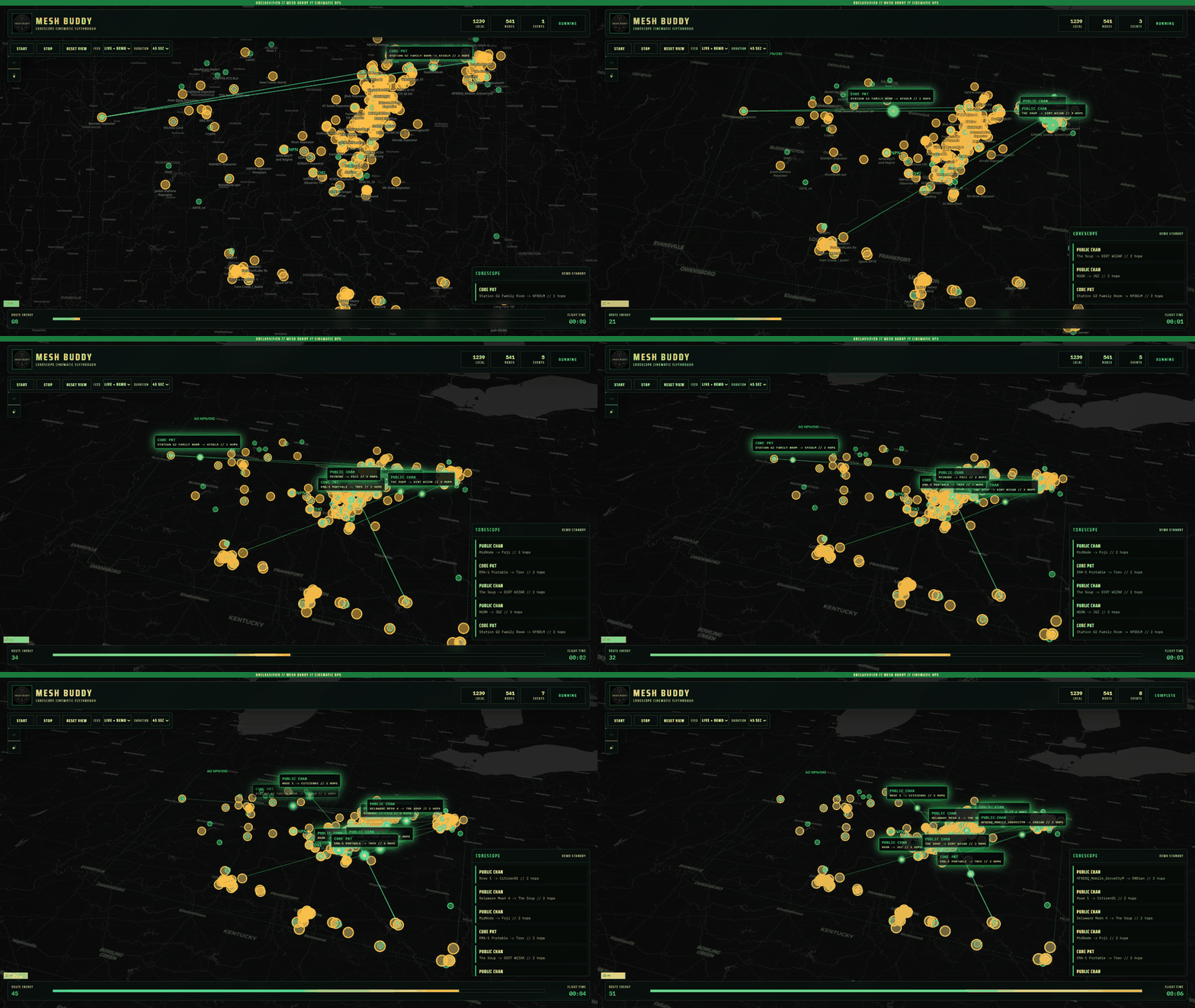
MeshBuddy can run a tactical flythrough across OKI nodes with packet paths, CoreScope-style events, live/demo modes, and an indefinite run option for wall displays.
MeshBuddy is what happens when the map, RF notebook, public tower databases, aircraft tracker, weather screen, solar dashboard, and packet curiosity all get bolted into one mission board.
Find gaps before the driveSpot useful towers fastExplain node silenceMake field tests less random
Flythrough modeLive-style packetsBuilt for OKI Mesh
Ops charts
A dashboard that earns its screen space.
Coverage stackTri-State
NodesTowersTerrainWeatherAircraft
Signal pictureLive feel
RCWXADS
Packet storyWhy route?
Source heardRelay hopScenic routeDestination
Sitrep
What is MeshBuddy?
MeshBuddy is a free mapping, monitoring, planning, and situational-awareness tool built for the OKI Mesh community. It brings the entire OKI Tri-State area into one interactive map: live mesh activity, communications infrastructure, RF planning tools, weather, solar activity, traffic cameras, aircraft, and other overlays that all seemed like a good idea at the time. (They were.)
Under the hood it combines live MeshCore node data with open public datasets — FCC records, FAA obstacles, OpenStreetMap infrastructure, NOAA space weather, and more — so the state of the network and the world around it live in one view instead of eleven browser tabs.
You don't need to be an RF engineer to use it. If you can click a checkbox, you can add an overlay. Whether you should add all of them at once is between you and your GPU.
Queries answered
Questions MeshBuddy helps answer
> Where are the repeaters?
> What towers are nearby?
> Is terrain blocking the path?
> Is space weather being weird again?
> Is that aircraft actually close?
> Why did that packet visit three counties?
Answers provided by data. Follow-up questions provided by the data.
Capability set
The Feature Constellation
Four groups. One map. Zero restraint.
Mesh Intelligence
Live MeshCore nodes
Repeaters, clients, rooms, sensors
Node status and health
Route and analytics tools
Infrastructure
Broadcast towers
FCC ULS sites & cellular towers
VMS and public-safety towers
FAA obstacle data
OSM communications infrastructure
Situational Awareness
Weather radar & traffic cameras
ADS-B aircraft
Solar activity & space weather
HamClock
RF & Planning
Distance rings & RF Command Center
Site Planner
Terrain and elevation
Per-node solar forecasts
Coverage and path analysis
Mission statement
The goal is not to replace the people who understand the network. It is to give them better tools.
And give the rest of us fewer reasons to stare at the map and say, “Well, that's weird.”
Operator support
Built for the OKI Mesh Community
MeshBuddy is provided free to the OKI Mesh community as a working toolset for:
Ideas that sounded much easier before implementation began
No SLA, no uptime guarantee, no official support desk — just steady improvement and honest tooling.
DEVELOPMENT STATUS: ACTIVE
NOTICE
MeshBuddy is an independent community project. It is not an official service of MeshCore, OKI Mesh, the FCC, NOAA, NASA, the FAA, or the mysterious repeater that only seems to work when nobody is testing it.
 Join Discord